The Harwich Radio Direction Finding (RDF) Tower was built just before April 1941 and housed one of the earliest applications of RDF. Ten similar sites were built around the UK covering important rivers, docks and harbours. RDF became better known as RADAR around 1943, an American term short for Radio Detecting And Ranging.
It was used to cover the naval minefield that had been laid across the estuary between Essex and Suffolk. The range and bearing would be transmitted to one of the Extended Defence Officers (EXDO) posts at Beacon Hill or Landguard Fort, from which the appropriate mines were selected electrically and detonated.
The ground floor of the tower consists of five rooms: the generator room, crew accommodation, mess room, toilet and lobby (this includes a hatch to the middle and top floor, used to raise equipment).
The middle floor was the Operations Room. It would have housed the equipment needed to operate the array (aerial) on the upper floor. This would have included a transmitter, receiver and telephones etc. In the centre of this floor is the manual device used to rotate the array on the top floor. Two men would slowly swing the aerial back and forth across the minefield until the strongest signal was detected from an incoming vessel, this was the bearing. It was never used as a plotting room as this operation was carried out in the EXDO towers.
The top floor houses an extremely rare survivor, a Type 287 RDF array. This is largely original and consists of two ‘pig trough’ reflectors, one above the other, both 21 feet (6.4m) wide. It was powered by the generator on the bottom floor; this gave it a range of 2 miles, enough to cover the minefield. The Type 287 was a modification of the earlier Type 284 that had been used on battleships, including the HMS Hood, and was used for gun laying. The 50cm wavelength and 5 degree signal width made the Types 284 and 287 ideal for pinpointing vessels at sea level.
The tower was in use from April 1941 until December 1943, serving as a ‘minewatch’ installation. Two others in Essex, one near Tollesbury, the other at East Tilbury, served in the same role.
In October 1941, an experiment was carried out using the Radio Direction Finder in the tower to direct the guns at Beacon Hill Battery. The range and bearing of targets were telephoned to the battery next door and the guns laid accordingly. However, this was probably only carried out once before the tower returned to its primary role of monitoring the minefield.
Following its closure in 1943, it is unlikely the tower was used again and it fell into disrepair.
When the Harwich Society reopened the tower several years ago, a jumble of metal was discovered and the structure was suffering from subsidence. The metal was put back together and now forms the array on the top floor. The subsidence was stabilised and in 2012 the tower was opened to the public for the first time.
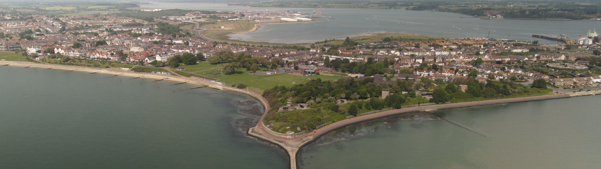
Our thanks go to author J P Foynes for his many hours of research while investigating this historically important building. Without his tireless efforts, the significance of this building would have been forgotten. Aerial photos by [Greg Mann]