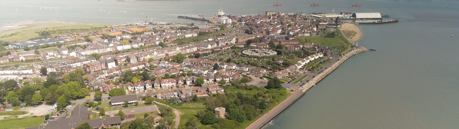
Harwich has been a strategic naval town for hundreds of years and it has always been important to protect it from attack, especially from the sea. Since the 1540’s the town has been protected by a number of coastal defence structures, many of which have survived and can still be seen today.
1.
Harwich defences
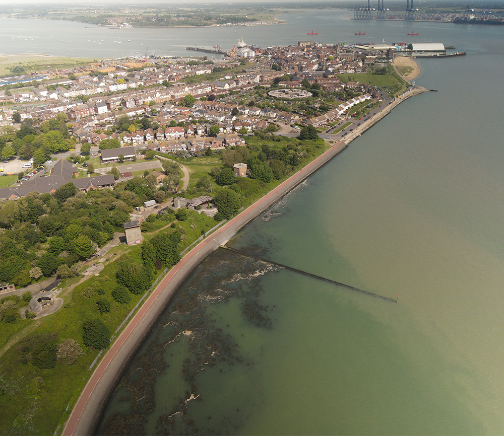
Its position on the estuaries of the Stour and Orwell rivers and its usefulness to mariners as the only safe anchorage between the Thames and the Humber led to a long period of maritime significance, both civil and military. The town became a naval base in 1657 and was heavily fortified.
2.
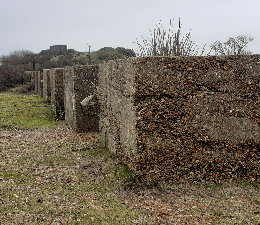
Beacon Hill Fort
Built in 1890 as a defence against a potential invasion by France, Beacon Hill Fort is a rare survivor. It overlooks the estuaries of the Stour and Orwell rivers on the approach to the harbour.
3.
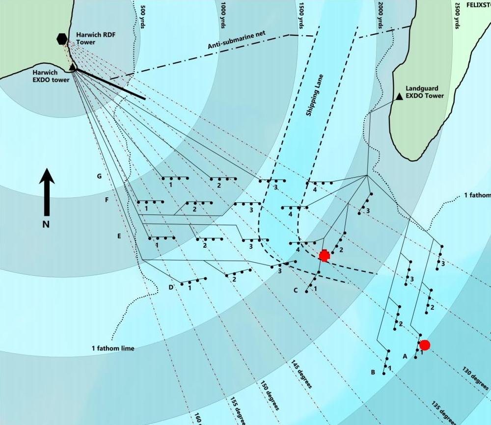
Mines and Minefields
From 1880, naval minefields have been installed across the estuary from Beacon Hill to Landguard Point. The mines, laid to protect the entrance to the harbour, were to be fired electrically.
4.
Landguard Fort
There have been defences at Landguard point since the 1540’s following the Dissolution of the Monasteries by Henry VIII. The nation was at risk of invasion by France and Spain and a coastal defence system was installed to prevent an attack.
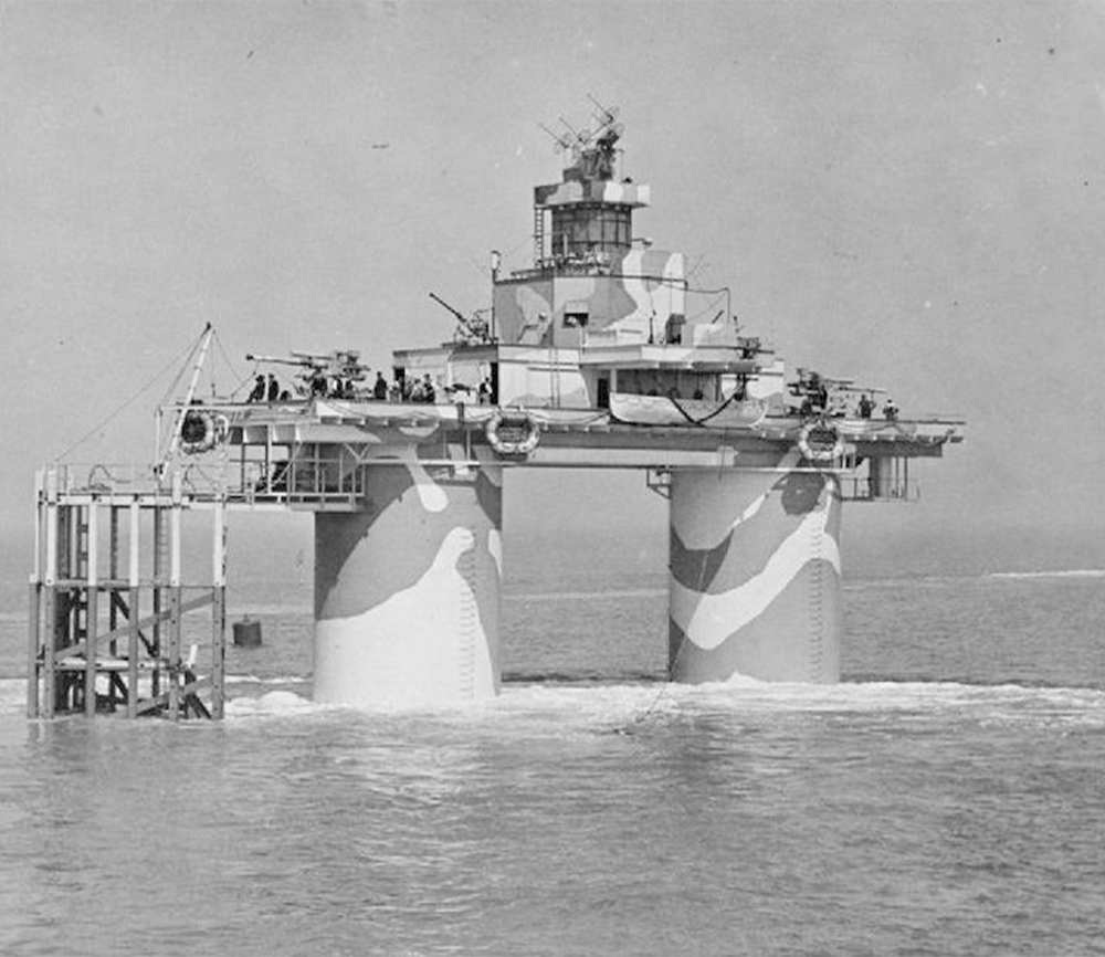
5.
Maunsell Forts
By the outbreak of World War II, the Thames Estuary was considered a weak point in defending the main access to London and the Royal Docks. German bombers were dropping magnetic mines in the estuary. As there is no landmass to mount anti-aircraft guns, an alterative had to be found. Ad Erratum: It has now been discovered that this image actually depicts HM Fort Knock John. Code named Uncle 4, Knock John, although almost identical, is located due east of Southminster, Essex.